Fairbanks Schools

It’s rain on Sunday morning. I feel same weather almost everyday… rain in the morning and little clear in the late afternoon. I am trying to replace dataloggers in Fairbanks schools.

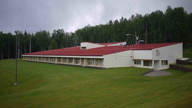
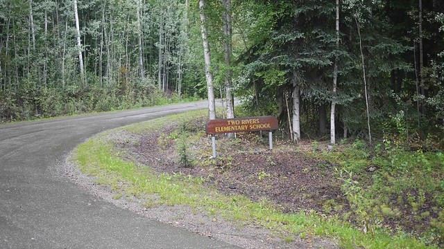
I got great data from Two Rivers!

Also Weller!

After Weller, I was at Joy

Then Randy Smith. Until here perfect! but I counld not find it at U-park, frost tube also missing.


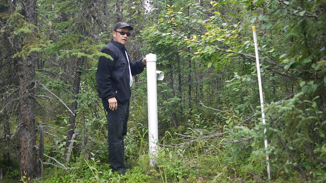
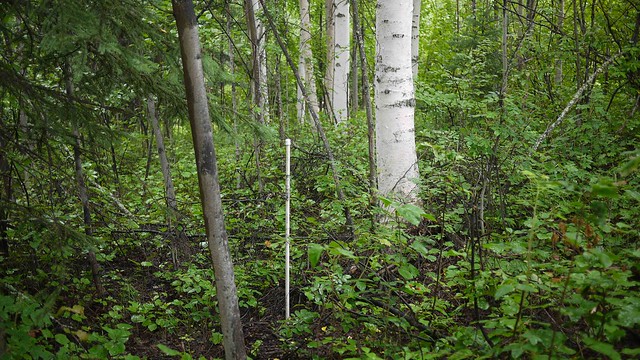
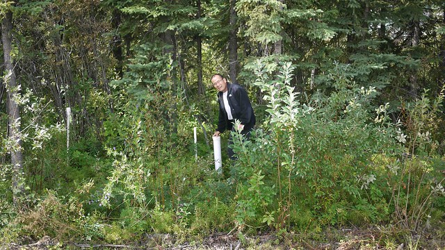
After the U-park, weather getting clear and all of the sites (Ned’s University trail, Pearl Creek, and Viereck’s Upper Pearl Creek) are great!! I will show you some data soon!


Kodiak to Fairbanks

We flew from Kodiak to Fairbanks via Anchorage. Alaska Airline jet is almost 100X faster than ferry!! I feel back to busy day life, I don’t know this is good or bad…

Susitna River meets ocean (Cook Inlet)

I could see Beluga community (the other side of Cook inlet).

Susitna River Delta

Back to Fairbanks!

Shelikof Strait & Kodiak

Shelikof Strait is located between Alaska Peninsula and Kodiak Island. We had a great time pass through here by the sunset.

Katmai is in the cloud. You can see a lots of moisture flow into Pacific!

Mt. Douglas (right) and Fourpeaked mountain was great view in the evening sunshine!


Not many traffic, but some barge passing through…

For the Kodiak Island, trees are start visible on the slope

Small community, Karluk (population 27 in 2000) at west side of the Island. Orthodox church, right side of this picture, was built in 1888.

Chignik Bay

Castle Rock is gateway to the Chignik. Chignik has tree communities, where are Chignik Bay, Chignik Lagoon, and Chignik Lake. All of three communities are close each other but  not connected road system.

You will see more tree and bush, when I go up north.

water falls against snow caped mountain

King Cove, Sand Point

King Cove is not much far from Cold Bay, but here is feeling much “warmer” and “comfortable”. Because protected south facing cove with many activities.

School seems new. There are a lot of crab pots waiting for season (October-) start!

Sand Point is another comfortable community. Two big wind generators would be new community trademark! but did not work.

False Pass

False Pass is located the most eastern part of Aleutian Islands or just the other side of Alaska Peninsula. So if you want to go to Bristol Bay area from Gulf of Alaska, this is shortest pass way to Bering Sea. However, this is narrow and shallow pass. most of the ship is using Unimak Pass where west side of this island.

Weather was great on pacific side! There are strong wind from Bering Sea side and catching rain at Aleutian Chain. This picture show wind right to left developing beautiful cloud.

Here is False Pass. this community is very small! You can see actual pass at left side of this picture! so town is on the Unimak Island and left side of the land is main land Alaska (maybe many moose and bears!)

Akutan

Once we left Dutch Harbor, Ocean looks out of question! Yes, this is Bering Sea. I thought I never back again 16 years ago. Life is repeating but the great thing is “it’s not my boat!!” at this time.


About 4 hours later, we arrived Akutan.

Akutan is small communities safe from wave!

Community is connected by the board walk!

Here is Ambulance!  waiting to go!

After set up datalogger, we go east to False Pass.

The capital of the Bold Eagle!

You can not avoid bold eagle in Dutch Harbor, really really everywhere eagles… It’s hard to find other bird!

Of course, eagles on the trees

Each house has one each

Sometimes on the car

No kids at park, just eagles

House porch (must be a lot of guano)

still…

Many pollacks!

World Record Halibut is here!

Solifluction!?

Wow… It looks solifluction at north facing slope about 300m a.s.l.!!! If you forgot “Solifluction” see TunnelMan Episode 4 at “http://www.youtube.com/watch?v=3rjKhxxiDgY”.

You see it center of this photo (just below rocks!). I am not sure currently presence of permafrost (likely not!) but sometimes past or presence, some kind of freeze thaw actions occurred!! This is great discovery of this trip!!

Close looking at solifluction lobes. almost all covered by vegetation and looks old. I did check up to 1.5m but not frozen! We install data logger!

Solifluvction from Nome area, TunnelMan Episode 4  “http://www.youtube.com/watch?v=3rjKhxxiDgY”. Is this similar, isn’t it?!