Soil, forest, frost tube

South part of Kodiak is tundra looking (typical Bristol Bay area looking) vegetation (see below). Most of the hill has not much sediments and bedrocks are exposed!

However, around Kodiak city has rich coastal rain forest!

Moss covered forest floor is so beautiful and matching with rainy weather!

Forest site has rich organic layered sediments but also volcanic ash (Katmai tephra 1912) is usufull indicator key bed.

I installed frost tube at Kodiak Christian School and students have very good manner and many sharp questions.

Project “Southeast” Stage 1

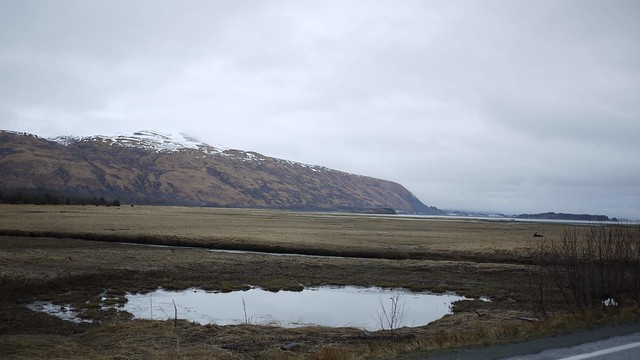
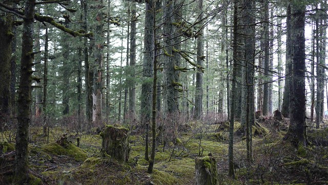
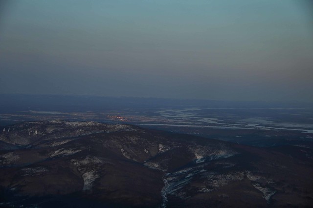
Project “Southeast” start moving forward. We will drive down to Haines on May 2nd. Before this, I will fly to Kodiak Island to test system next week. So idea is that visiting all of the Southeast Alaskan communities to install frost tube and temperature loggers! Just like snowmachine trip in mainland Alaska, but we could not use snowmachine in Southeast. That why I will use boat!!  Boat has complete research space, gerry,  bathroom, bed…including shrimp pot puller!!!

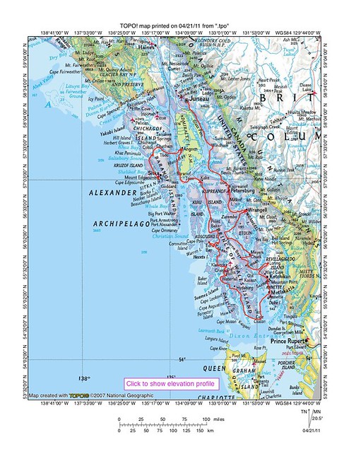
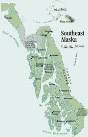
Route map for stage 1 – Southern part of Southeast Alaska-

Summary

Total distance: About 1000 mile

Periods: May 5 to 20 (two weeks)

Ideal route:

Sitka-Angoon-Kake-Port Protection-Edna Bay-Naukau-Craig-Hydaburg-Metlakatla-Ketchikan-Kasaan-Meyers Chuck-Thorne Bay-Coffman Cove-Whale Pass-Wrangell-Petersburg-Hobart Bay-Juneau.

Team: Jon Holmgren and Kenji Yoshikawa

Tactics:

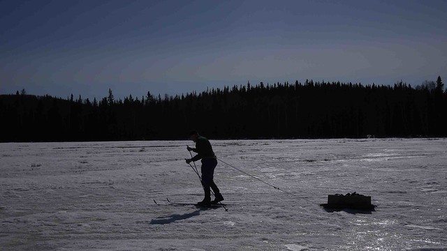
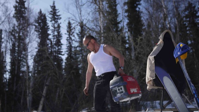
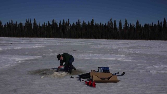
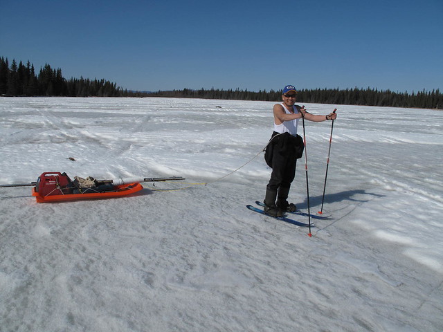
Transport: Harbor Craft 26′ kingfisher aluminum boat with two 115 four stroke Suzuki outboards and run on ground

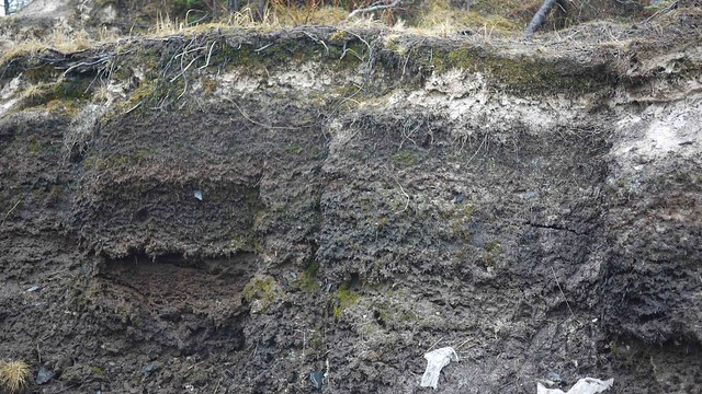
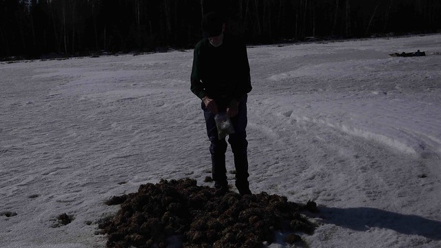
Research: Shallow drill for frost tube, and hobo pendant logger for ground surface temperature

Food: catch and go

Equipments: fully equipped blue water level, but we do not try hard during bad weather…

Communication: Satellite phone, cell phone (in the community), VHF, Ham radio, SPOT, EPIRB

You could follow our track by twitter: http://twitter.com/#!/uafpermafrost


2010 2525 PRO Kingfisher

Selawik Retrogressive thaw slump was slowdown or stop in 2010

One of the big landslide sites in Alaska, Selawik Retrogressive Thaw Slump looks slow down or stop in 2010. The following picture was taken from air last week. Retreating point is same (stop) at the boundary of tundra and forest. It seems only ice rich materials are edge of the Selawik River which maybe lateral moraine, or former lake shore…

Enjoy video clip at same site in 2009

Joy elementary

I visit Joy elem. school. Melanie’s class did frost tube last 3 years. we could try to summarize three years of  data.

great thing is all this 2nd grade students understand graph (x- and y- axis meaning)!! This was wonderful. and we had a intense great time!

We had a quite deeper freezing this winter! Also still cold!! I used to see big mosquitos after April 15. but not yet this spring 🙁

The moon page is done for “Project P”

We had full moon yesterday! that is almost 100dC at Earth facing side of moon’s surface! The other side would be -200dC! However, 1m below ground is about -20dC all year around that Apollo 15, 17 drilling mission conformed in early 1970s!! -20dC!? That is about Canadian Arctic or warmer than the top of the Denali (Mt. McKinley)!!

Leninade

i found interesting soda from Fready (local store). Red color “leninade” !! It will be good soda for celebration next month (May). Of course there is Lenin’s drinking picture at back of the bottle!! It’s great design, Too bad, they don’t print label paper, which will be good souvenir! just direct printed on grass.

Taste is more like “Mountain D–w”.

picture from Sendai!

Dr. Harada report today for Tsunami scar. He is permafrost scientist, who staying in Fairbanks 1 year then just back to Sendai. Sendai is one of the severe earthquake regions  He visited many damaged town recently… Watch this shocking pictures that he took last week!!

I don’t know how to do it back…

Many big boat have fire(?) scar!!

Gee, this is difficult to lift up…

It seems still many debris floating.

Clear boundary on safe and destroyed. I heard insurance did not cover most of the case…

How this car to climb up!!

Maybe still OK??

Thanks Dr. Harada for your picture!

Quartz Lake Archeological study

Beautiful sunny day in interior Alaska. I join Dave’s project today. Dave is professor emeritus at biology department at UAF.  I drive to Quartz Lake near Delta Junction (about 1.5 hour drive, 100miles). This site was found human activity since 11000year BP. Human is at least living here after last ice age (or the Last Glacial Maximum: LGM). But personally, I believe human was here before LGM… Hope somebody could find very old some ruins later.

Driving on lake is still OK, but little nervous when I drive near shore.

Larch is typical tree in Siberian boreal forest, but not here!! Larch means likely degraded permafrost!

See! thermokarst mound (high center polygons).

We ski in to the forest!

Very sunny warm day (+10-+15dC), It always feel great, drilling without thick clothes!

Muskrat food reserve?!

Dave  sample water. Ice was 1m thick.

Fun to ski back!

Back to Fairbanks

We made back to Fairbanks before sunset. Moon is already in the sky getting brighter.

Low angle of the sun could see many geomorphology. This landslide north of Tanana was my interest spot every time I flew over here, but I never been there. Cause by mass movement or permafrost related still unknown.

Minto flat with Tanana river

Twilight in Fairbanks