Adak in 1990s

Here is a new $18-million hospital was built in 1990, just seven years prior to the closure of the station.

Adak is windy always, here is wind proof window.

Submarine station at Finger Bay (below). It is interesting that no building behind here, just remains foundations not like other site..

Nuclear Storage Compound

Nuclear Storage Entrance & double fence (agressive dogs were between during operation era)

Dogs grave yard was located next of the forest.

Adak school

Adak is very unique. Here is panorama view. It looks not like other Alaskan town more like new development of suburban of California, but this is middle of tundra, or middle of small island in the ocean.

about 6000 people lived here during cold war time.  But 300 now, almost all of the house is empty today.

Students population was big too before! but now only 21 students in school all grades  k-k12. So we don’t use this big elementary school building.

We use only 5 rooms in this high school  building. other rooms are using for the clinic, city hall etc. Big swimming pool is abundant.

You will see snow covered Mt. Moffett behind.

We install frost tube and loggers. Hope we can check frost depth and temperature in this windy town but the southern most schools in Alaska.

flying over Denali

before toward Adak, I have to go to Anchorage as usual. FAI-ANC in one of the best viewing section in the world! because this!

Denali is looking good at black/white too!

here is downtown Fairbanks!

Ice wedge polygons at the Goldstream Creek

Pingos at Cripple Creek (3 craters in the valley)

Adak

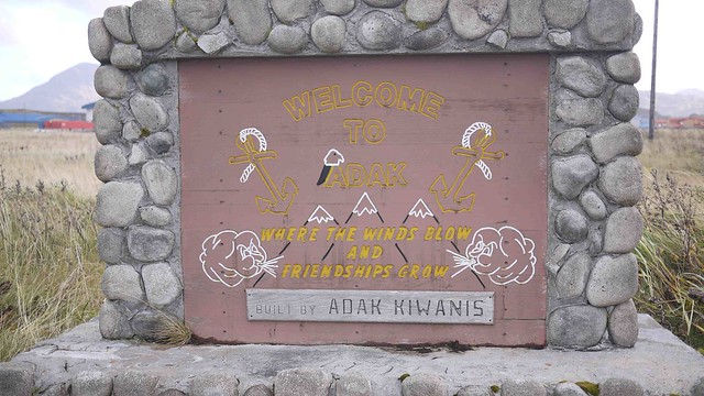
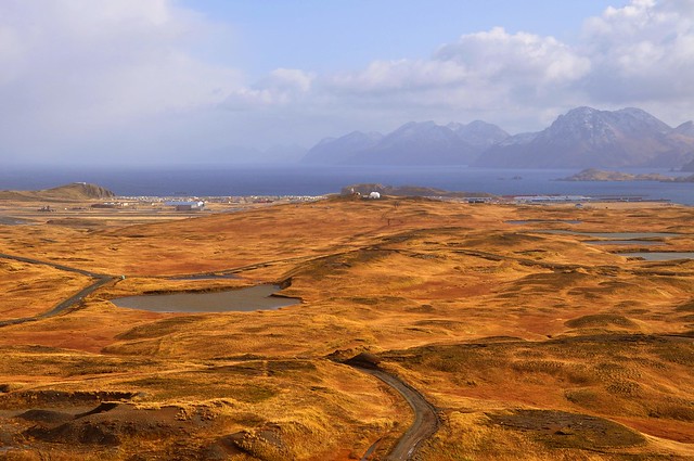
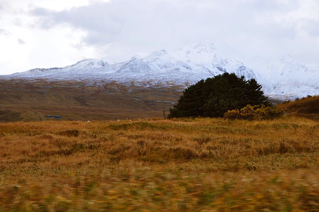
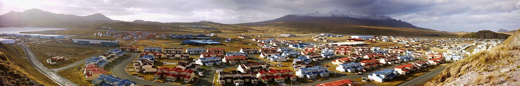
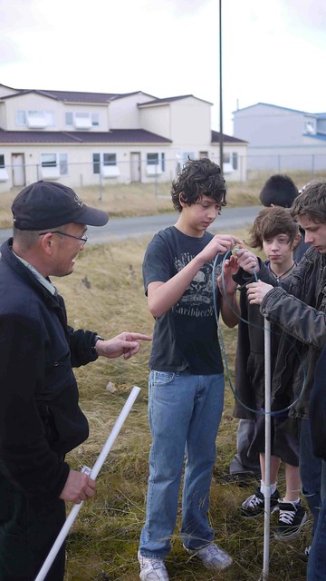
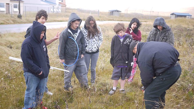
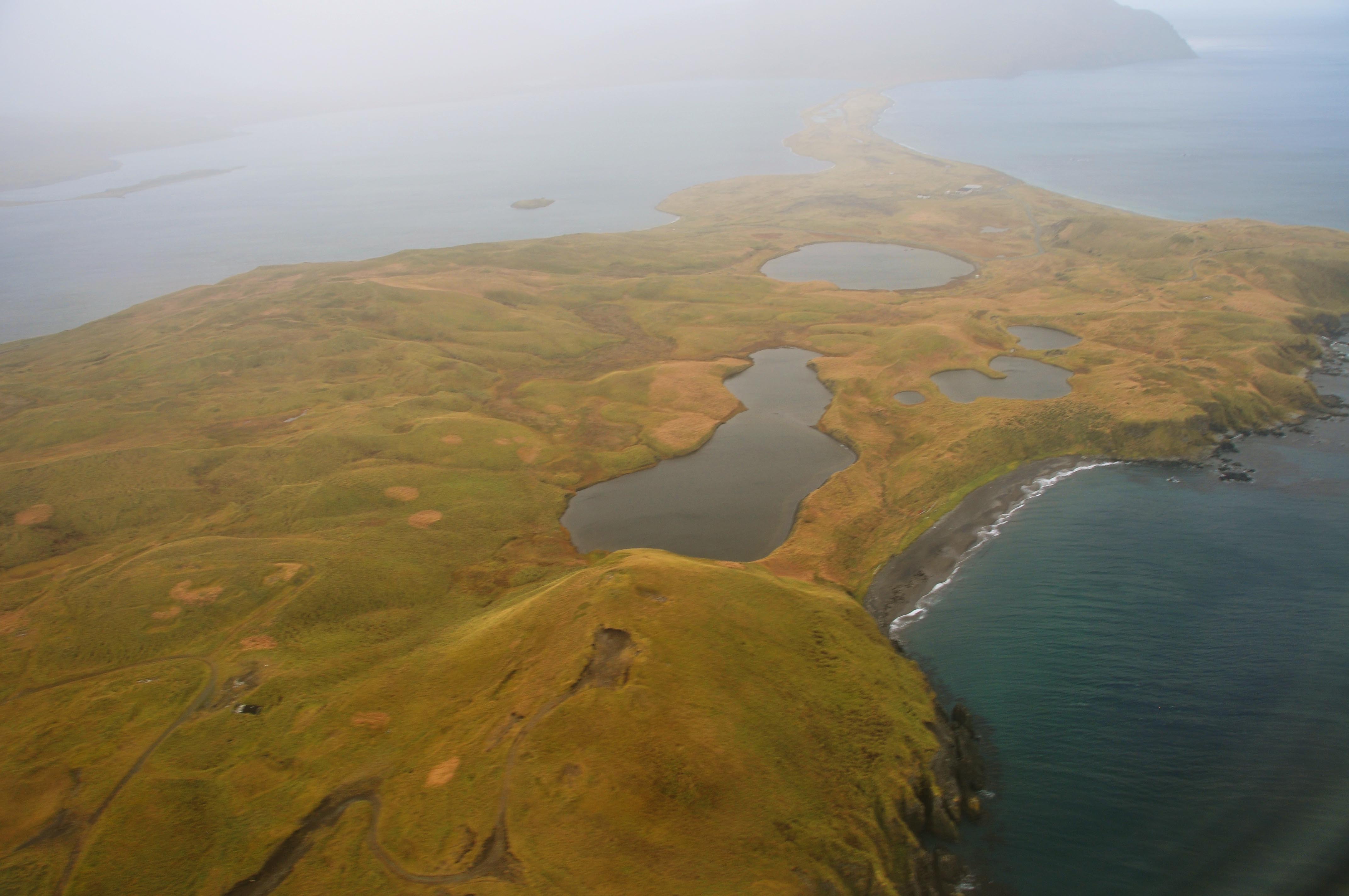
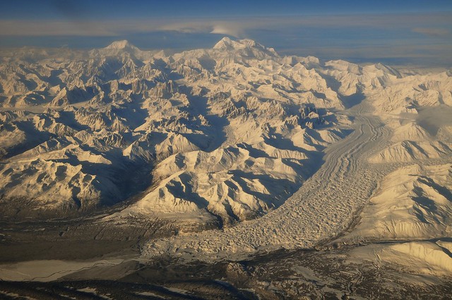
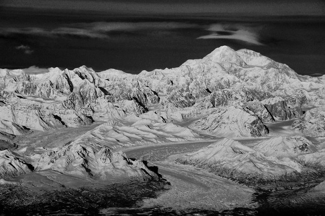
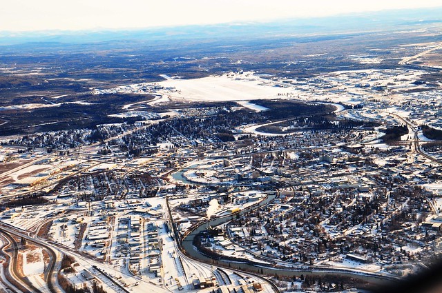
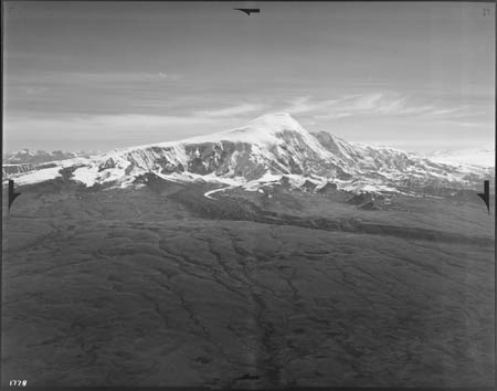
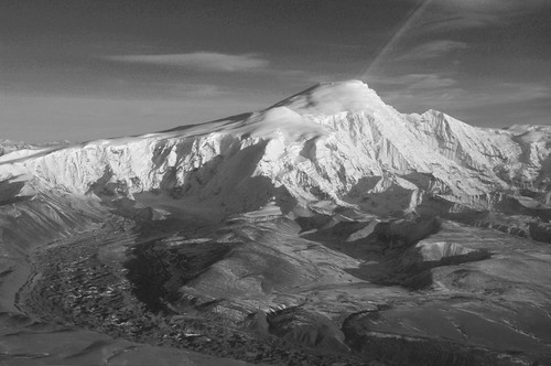
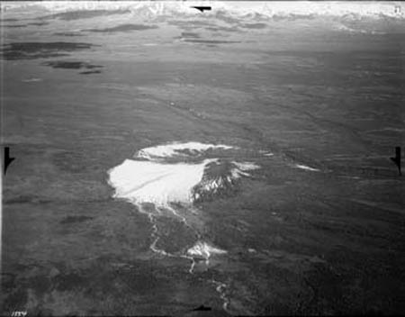
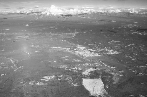
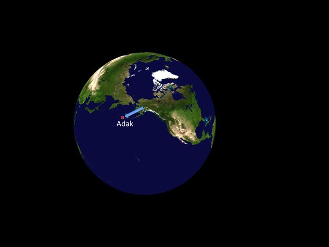
I am going to visit Adak school tomorrow! This will be the half way to Japan!  Adak is very extreme place in Alaska, or US.  It is the westernmost municipality in the United States and the southernmost city in Alaska where had colorful history (see below). I will report the town shortly!

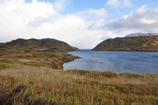
The Aleutian Islands were historically occupied by the Unanga, more commonly known now as the Aleuts. The once heavily-populated island was eventually abandoned in the early 19th century as the Aleutian Island hunters followed the Russian fur trade eastward, and famine set in on the Andreanof Island group. However, they continued to actively hunt and fish around the island over the years, until World War II broke out. Adak Army installations allowed U.S. forces to mount a successful offensive against the Japanese-held islands of Kiska and Attu. After the war, Adak was developed as a naval air station, playing an important role during the Cold War as a submarine surveillance center. Large earthquakes rocked the island in 1957, 1964 and 1977.

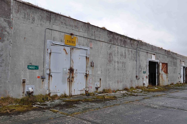
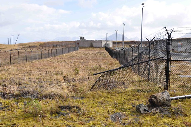
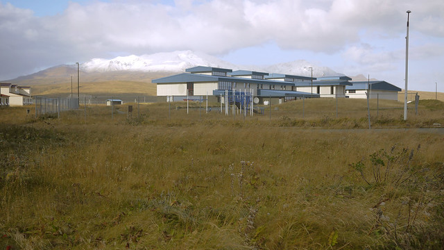
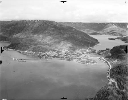
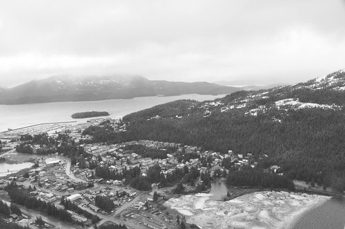
At its peak, the station housed over 6,000 naval and Coast Guard personnel and their families. In 1994, the base was downsized, and both family housing and schools were closed. The station officially closed on March 31, 1997. The Aleut Corporation purchased Adak’s facilities under a land transfer agreement with the Department of the Interior and the U.S. Navy/Department of Defense. This agreement was finalized in March, 2004. About 30 families with children relocated to Adak in September 1998, most of them Aleut Corp. shareholders, and the former high school was reopened at that time as a K-12 institution. The community incorporated as a second-class city in April 2001. Substantially all of the infrastructure and facilities on Adak are owned by Aleut Corporation, who is currently developing Adak as a commercial center via their subsidiary companies. For example, properties in active use are leased by Adak Commercial Properties, LLC.

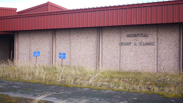
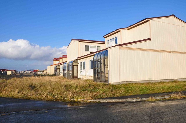
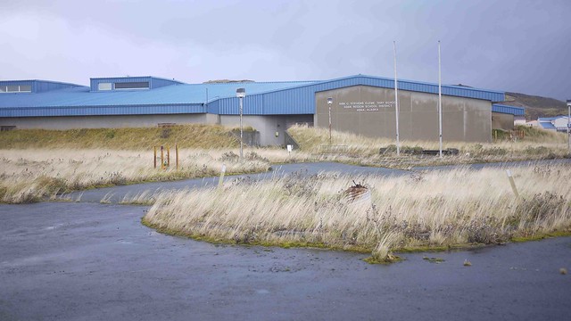
Since World War II, the U.S. Navy and Coast Guard developed facilities and recreation opportunities at Adak. At its peak, Adak had a college, a McDonalds restaurant, movie theater, roller skating rink, swimming pool, ski lodge, bowling alleys, skeet range, auto hobby shop, photo lab, and racquetball and tennis courts. A new $18-million hospital was built in 1990, just seven years prior to the closure of the station. By March 2003, six years after the closure of the station, most of these facilities had closed. For a time, Adak became a virtual ghost town, with its buildings showing little sign of wear or disuse. In recent years, preventing trespassing in and vandalism of the unoccupied facilities has become an ongoing struggle for the Aleut Corp. The harsh Aleutian wind and weather has also played a part, all but destroying the majority of facilities remaining on Adak that are not in active use. (from Wikipedia)

Fairbanks symbol bridge in old days

When I looked at old pictures. I saw many picture included a bridge. In old days, I feel a bridge was very important part of a town infrastructure. For Fairbanks, this strong bridge located at the center of the town for crossing Chena River (picture taken in 1955 ).

Later, this old Fairbanks symbol bridge moved middle of tundra near Pilgrim Hot Spring 50 miles away from Nome. then today,  it’s still good shape!

Mountains and glaciers from 1938 to 2011

When I look at Bradford Washburn Collection this weekend, many pictures are taken same position (x,y,z) coincidently!
So, I am lucky to check 73 years difference between Brad Washburn’s 1938 picture versus last week’s flight seen!

Here is our Mount Blackburn in 2011 (I made black/white for comparison!)

Here is almost same hight of Blackburn in 1938 from Bradford Washburn Collection
Rasmuson Library Historical Photograph Gallery / uafwb1846

Glacier seems retreat little bit but rocks are more snow on surface lastweek!

Childs Glacier and million dollar bridge in 1938 from Bradford Washburn Collection
Rasmuson Library Historical Photograph Gallery. The last train left Kennecott on November 10, 1938. So this picture was taken same year at the end of operation!

Here is today’s bridge and glacier. It seems retreat little and seeing islands.

Here is Sanford in 1930s.

And today!

Here is mud volcano in 1930s.


And today! it’s a;most same vegetation pattern.

Here is Cordova in 30s, still Kennecott copper terminal was active at the pier.

Here is another side of view today’s Cordova